Contact Information
Custer County GIS Mgr./Deputy DES Admin.
Maureen Celander
Email Our Office
Phone – (406) 874-4024
Address – 1010 Main, Miles City, Mt 59301
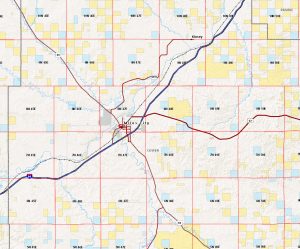
A Geographic Information System (GIS) is a system that creates, collects, manages, analyzes, and maps all types of data. GIS connects data to a map and combines the location of that data with information describing that data. An example of this would be the location of schools. The actual location of the schools is the spatial data. Additional data such as the school names, level of education taught, student capacity, etc., would make up the descriptive or attribute data. It is the partnership of these two data types that enables GIS to be such an effective problem-solving tool through spatial analysis and the ability to display information in a map/graphical form. GIS is used for visualization of data in a spatial environment. Geospatial data can be analyzed to determine (1) the location of features and relationships to other features, (2) where the most and/or least of some feature exists, (3) the density of features in a given space, (4) what is happening inside an area of interest (AOI), (5) what is happening nearby some feature or phenomenon, and (6) and how a specific area has changed over time.
With the help of multiple grant monies, GIS has been a beneficial addition to Custer County, Montana. In Custer County, GIS has helped with the election changes due to statewide redistricting. We are able to show the location of collected infrastructure for addresses, roads, culverts, cattleguards, and bridges. We use maps to increase efficiencies for weed management.
Our 9-1-1 addressing has helped to increase efficiencies in responding to emergencies through our emergency services providers. We are able to show where our coal seam locations are and their potential for fire risks. There are many benefits to a GIS program that will help save time and cost as the program continues to develop for Custer County.
Disclaimer: Custer County Montana information is provided for informational purposes only. The County of Custer makes no express or implied warranties or representations as to the accuracy, usefulness, timeliness, or completeness of the information. The County of Custer assumes no liability for any damages that may result to any user as a direct or indirect result of any decision or action taken or not taken, based in whole or in part on use of the information. The user shall assume all risk of using the information.
